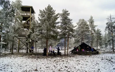
 Lapland
 Ounasvaaran näköalatorni
Explore the trail details of Ounasvaaran näköalatorni in the beautiful Finnish wilderness.
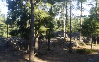
A static compilation of all trail logs, laavus, and wilderness shelters grouped under the taxonomy tag of #Forest.
Lapland Explore the trail details of Ounasvaaran näköalatorni in the beautiful Finnish wilderness.
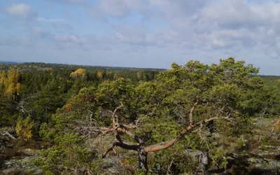 Varsinais-Suomi