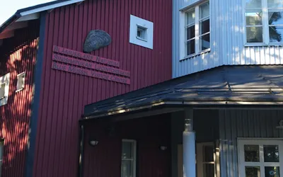
Kasnäs geological nature trail
Explore the trail details of Kasnäs geological nature trail in the beautiful Finnish wilderness.
Discover coordinates, maps, wind shelters, and geological formations of national parks across Uusimaa, Varsinais-Suomi, Lapland, and more.
Latest posts compiled statically from the Finnish wilderness.
Explore the trail details of Kasnäs geological nature trail in the beautiful Finnish wilderness.
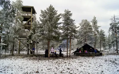
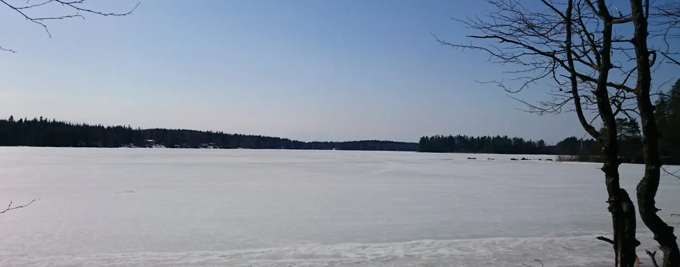
Explore the trail details of Ounasvaaran näköalatorni in the beautiful Finnish wilderness.